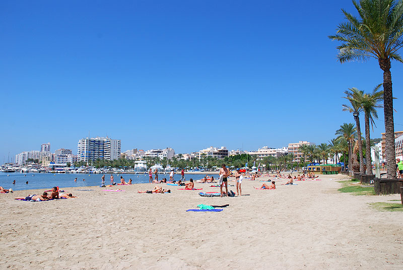
The State Meteorological Agency (Aemet) has announced that the Balearic Islands will live a week marked by cloudy skies and rising temperatures, thanks to the progressive entry of a mass of warm air that will impose on the archipelago. According to the spokesman of the Balearic delegation of the agency, Miquel Gili, the meteorological conditions will be generally stable until Friday, when a cold front coming from the Peninsula could leave some weak rains and a slight thermal decrease.
Clear skies and mild temperatures to begin the week
Monday arrives with a very calm panorama in the islands. According to Gili, the day will be marked by a predominance of light cloudy skies with some intervals of medium and high clouds, and a slight rise in daytime temperatures, which will range between 20 and 23 degrees.
The wind will blow lightly from the southwest, contributing to the feeling of stability. The minimum temperatures will remain cool, especially in the interior of Mallorca, where thermometers will drop to 7 or 8 degrees during the early morning.
A similar situation will be repeated on Tuesday, when the Aemet forecasts a new day of clear skies, with some morning mist and no major changes in minimum temperatures. The maximum, however, will experience a slight rebound, reaching values between 21 and 24 degrees. The wind will continue to be light from the southwest, turning south in the afternoon.
Wednesday: warm air and dust in suspension
Wednesday will mark the beginning of the atmospheric change. As Miquel Gili has detailed, the mass of warm air will begin to impose itself on the Balearic Islands, which will cause a new rise in temperatures and the appearance of dust in suspension in the atmosphere. “The sky will continue to be slightly cloudy, with mist and the possibility of a bank of morning fog. This Wednesday will also begin to break into the dust in suspension,” explained the spokesman for the Aemet.
Minimum temperatures will be around 12 degrees, while maximum temperatures will be around 21-25 degrees, especially in coastal areas. This phenomenon of haze will be more visible from Thursday onwards, especially affecting Ibiza and Formentera.
Saharan dust and highs up to 26 degrees Celsius on Thursday
On Thursday the trend of stability will continue, although with a greater presence of suspended dust. The Aemet warns that the haze could reduce visibility in some parts of the archipelago and lead to veiled or slightly yellowish skies.
Temperatures will remain slightly higher, with minimum temperatures between 11 and 16 degrees and maximum temperatures that could reach 26 degrees in some areas of Mallorca and Menorca. The wind will be light, predominantly from the south. “The dust in suspension will be more noticeable, especially in Ibiza and Formentera,” added Gili, who recalled that such episodes are common in the Mediterranean during the fall.
Small change of weather on Friday
On Friday, the arrival of a cold front from the Peninsula will cause a slight change in the weather. More cloudiness and the possibility of weak and scattered showers are expected, especially during the early hours of the day. However, rainfall will be occasional and of short duration, as the forecast points to a progressive improvement in the afternoon, with the opening of clearings in most of the islands.
As for temperatures, the Aemet forecasts a moderate drop in maximum temperatures, which will return to between 21 and 25 degrees, while minimum temperatures will rise slightly, with values between 12 and 18 degrees. “The cold front will arrive weakened and will not leave large accumulations of rain. In general, it will be a slight and transitory change,” said Gili.
Weekend preview: calm with a chance of showers on Sunday
Looking ahead to the weekend, the forecast points to a relative weather stability. Saturday will be, in principle, a quiet and mostly sunny day, while Sunday could register some isolated showers, although without great importance. “Saturday is expected to be a stable day and Sunday could register some rain, but not of an important nature,” said the spokesman for the Aemet.
The meteorologist has stressed that, if there is a significant change in weather, this would come from next week, although it is still early to confirm it. “There are still many days ahead, so we will have to keep an eye on how the forecast maps evolve,” said Gili.