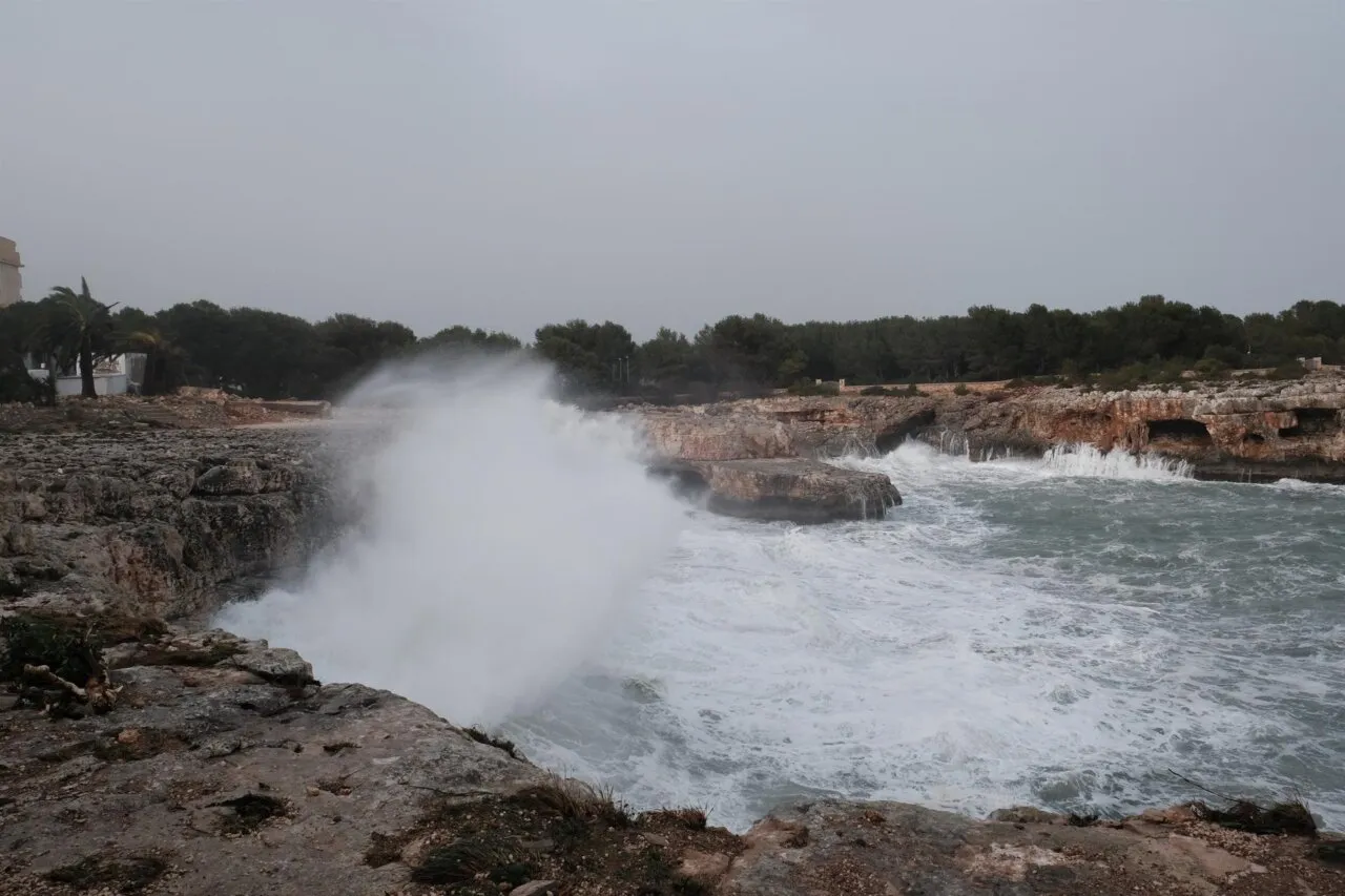
Mallorca is preparing for an abrupt and unusual winter turn for these dates. After a weekend with surprisingly mild temperatures, the Aemet has activated the warnings: a mass of very cold air arriving from high latitudes will cause a generalized thermal collapse, rains and, in certain parts of the island, possible snowfalls.
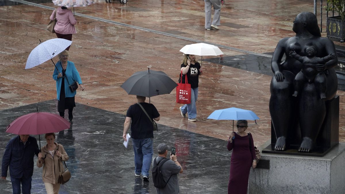
The week starts this Monday, November 17 with cloudy intervals and occasional showers, which in Mallorca and Menorca may be locally strong and be accompanied by thunderstorms, especially from noon. Temperatures will remain unchanged until early afternoon, when they will start to decrease. The wind will blow lightly to moderately from the west, turning north as the afternoon progresses.
A change of pattern: the inflow of arctic air
The Aemet warns that, from midweek, the archipelago will experience a very marked change in the weather. The arrival of a mass of very cold air will completely transform the environment, installing full winter conditions.
One of the most important factors will be the snow level, which will gradually decrease. Between Friday and Saturday, it will be around 800 meters, coinciding with the precipitation forecast. In this context, occasional snowfalls are not ruled out in the highest areas of Mallorca, especially in the Serra de Tramuntana.
The contrast with the weekend will be striking: while in municipalities such as Puerto de Sóller, Faro de Capdepera, Portocolom, Campos or Banyalbufar the thermometers did not drop below 20 degrees, at the end of this week the maximum temperatures will be even lower than these mild minimums.
Time evolution, day by day
Tuesday, November 18: first significant decreases
The day will be marked by cloudy intervals and occasional precipitation. Temperatures will continue to drop and, in much of the island, the maximum will no longer exceed 20 degrees, a value that is usually considered normal for these dates. The wind will blow light or moderate from the north.
Wednesday, November 19: colder and more stable environment
Cloudy intervals with weak and occasional showers are expected. Temperatures will hardly change, although they could experience a slight decrease. The wind will be light, tending to the west and northwest during the morning.
The arrival of the most intense cold
Thursday, November 20: fall of the snow level
A new round of cloudy to overcast skies will bring heavier showers in the afternoon. The snow level will drop to 900 meters, while temperatures will remain stable in the early morning, but will drop during the day, reaching minimums at the end of the day.
The wind will blow lightly from the west, increasing to moderate from the north, with strong intervals in the afternoon.
Friday, November 21: the coldest day
It will be the peak of the thermal plunge. In Palma, the maximum could not exceed 14 degrees, a value clearly below the usual. Rains are expected and a snow level located around 800 meters, which puts back on the table the real possibility of snow episodes on the summits.
Saturday, November 22: the storm loses intensity
Finally, the Aemet predicts that the storm will begin to lose intensity from Saturday, when it is expected the appearance of intervals of clear skies and a slight rebound in temperatures, which will return to normal values for the autumn season. In any case, the meteorological agency warns that there is still a margin of uncertainty and it will be necessary to closely follow the evolution of the models in the coming days.