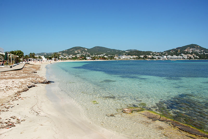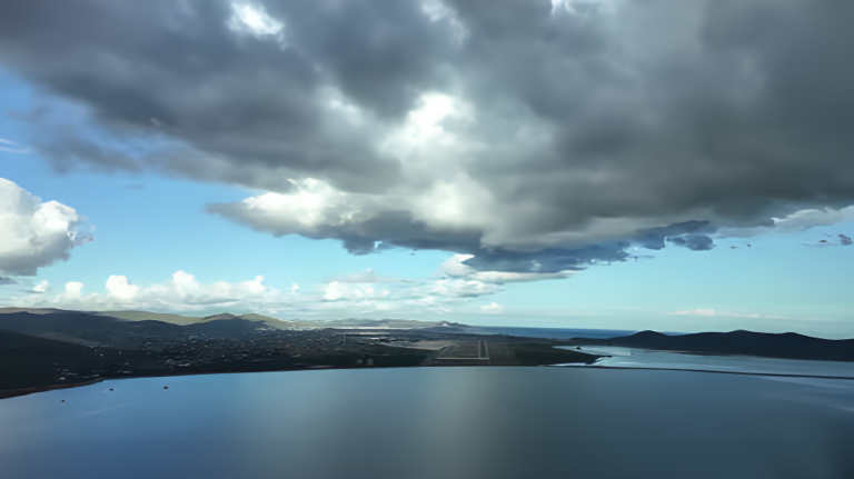
This Sunday, a front from the Atlantic will bring rain to much of the Peninsula, moving from west to east, with exceptions in the far east and the Balearic Islands, where no precipitation is expected.
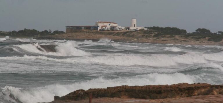
The State Meteorological Agency (Aemet) warns that showers could be locally heavy and accompanied by thunderstorms and small hail, especially in western Andalusia towards the end of the day. Also, the rains will be persistent in western Galicia and the Central system. Dense fog could form in the morning in the northeastern depressions, while temperatures will continue to rise, particularly minimum temperatures. Weak frosts will be limited to areas of the Iberian system and the Pyrenees. Winds from the south and southwest will gain intensity with very strong gusts in Galicia, Cantabrian Mountains, northern Iberian system and western Pyrenees. In the Canary Islands, the haze will begin to subside this Sunday, and the front will reach the northwest of the archipelago with probable weak rains in La Palma during the afternoon. Temperatures will rise on the islands, with predominantly southerly winds. For Monday, January 6, showers will be generalized in the Peninsula and the Balearic Islands, although they will be less frequent in the peninsular east end and will tend to remit during the afternoon. The rains will be locally heavy in western Andalusia and the area of the Strait, with the possibility of thunderstorms and small hail. In western Galicia, rainfall will continue to be persistent, and the snow level will drop to 1,000-1,400 meters, although significant accumulations are not expected. Temperatures will drop across the board on Monday, especially minimum temperatures, except on the Mediterranean coast and the Balearic Islands. Winds will blow from the southwest, with very strong gusts in the Cantabrian Mountains, Iberian system and Pyrenees, turning to the west and abating in the afternoon. In the far east and the Balearic Islands, strong gusts of cierzo and tramontana are expected at the end of the day, while in Alborán the west will predominate. In the Canary Islands, the remains of the front will keep cloudy skies or with intervals, accompanied by scattered showers and winds from the north and east.