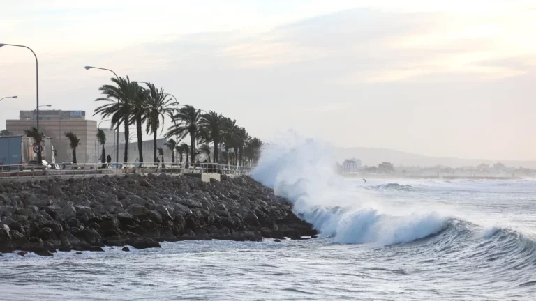
Ibiza is preparing for a sudden change of weather from Wednesday with the arrival of a mass of air of arctic origin that will significantly lower temperatures and increase instability throughout the island, according to the State Meteorological Agency (Aemet).
Although the most severe effects of the episode will be concentrated in the northern third of the peninsula, where snowfall warnings have already been activated at altitudes below 600 meters, the Balearic archipelago will also feel the full irruption of cold air. In the case of Ibiza, the snow level will begin the week located around 1,400 meters – a symbolic altitude in the Pitiusas – but will gradually decline as the storm progresses to stand at around 600 meters on Friday, the day that is expected colder.
Getting colder and colder until Friday
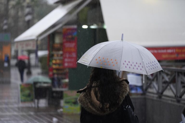
The day will start with cloudy intervals and some possible weak precipitation, especially at dawn and during the morning. Temperatures will range between
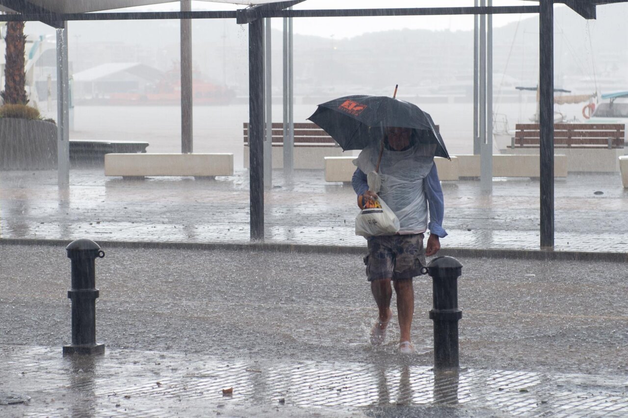
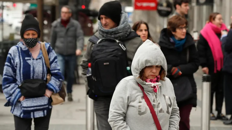
Thursday will mark the beginning of the wettest phase of the episode. Although during the morning the risk of rain will be low, from noon it will increase considerably. Highs will drop to 15 degrees and lows will be around 9 degrees, with a north wind that may blow moderately, reinforcing the wintry feeling.

Friday will be the most complicated day of the week. The Aemet forecasts
Weekend: the situation begins to normalize
On Saturday there will still be some instability, with possible showers during the morning and temperatures between 7 and 15 degrees. However, a slight improvement will be noticed as we await a change of air mass that, according to Aemet, could arrive from the Atlantic in the afternoon and favor a progressive thermal rise.
Sunday will bring a respite: partly clear skies, low probability of rain and an upturn in temperatures, which could be between 9 and 19 degrees.