The State Meteorological Agency (AEMET) has activated for Tuesday yellow warnings for rain and waves in several parts of the Mediterranean, including Ibiza and Formentera, where locally heavy rainfall and increased waves are expected, on a day also marked by a sharp drop in temperatures in large parts of the country.
Heavy rains in Ibiza and Formentera
In the Pitiusas, the AEMET maintains a yellow warning for rains that could exceed 20 liters per square meter in an hour, especially in the early hours of the day. The showers may be accompanied by thunderstorms, within an episode of instability that affects the whole of the Balearic archipelago.
This scenario is framed in an atmospheric situation dominated by the entry of cold air at high levels and a humid flow from the Mediterranean, which favors the formation of compact cloudiness and precipitation.
Swell and strong wind in the Balearic Islands
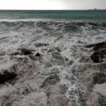
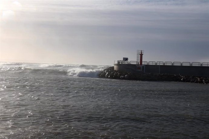
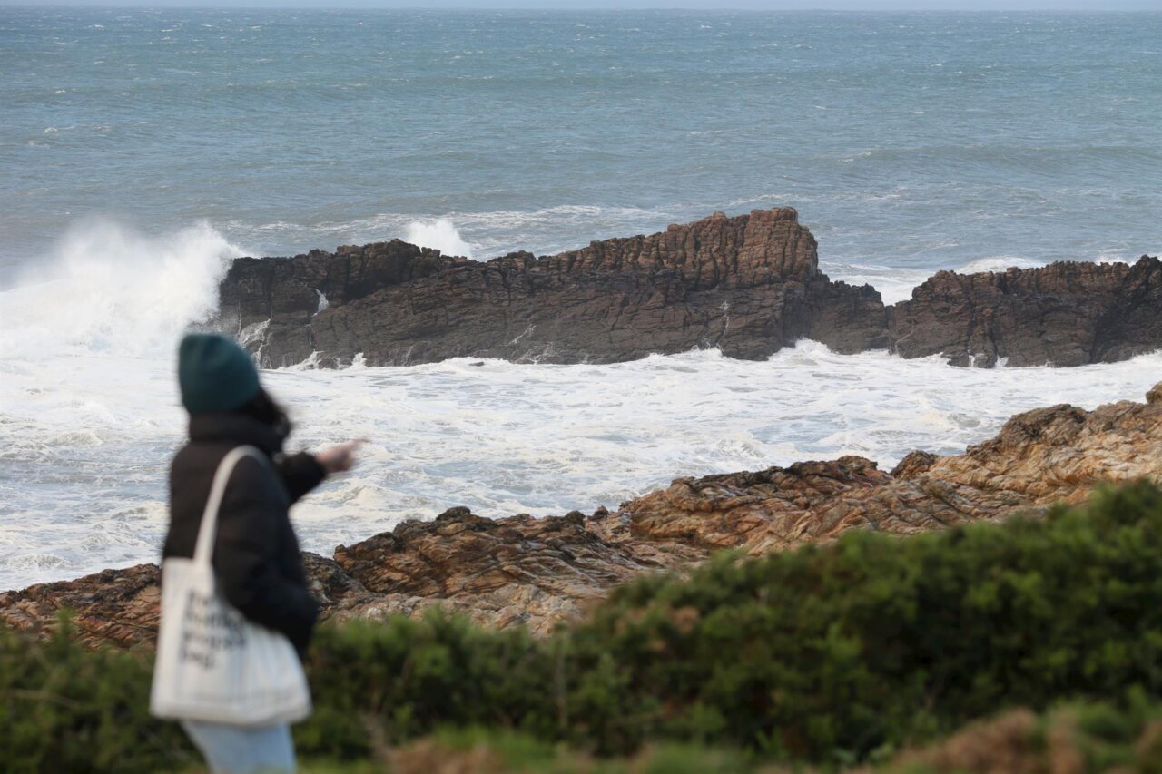
Although the orange warning for rough seas has been reserved for Girona, the AEMET also foresees a yellow warning for swell in Mallorca, Menorca and Ibiza and Formentera, with rough seas and waves that may reach 3 meters at times. Winds from the north and northwest will prevail, with intervals of tramontana, which will also be felt in the channel between Ibiza and Formentera.
Peninsular context: thermal collapse in the north
The episode of instability is accompanied by a notable thermal contrast in the Peninsula. While in Soria the minimum temperatures could drop to
In most of the country, the atmosphere will be stable, with light cloudy skies and morning fog in both plateaus, Galicia and mountain systems. Only the Cantabrian Sea and northern Galicia will record weak precipitation associated with the entry of a humid flow from the north.
Forecast for the next hours in Ibiza
In Ibiza, the morning is expected to pass under cloudy skies, with occasional showers that could be of strong intensity. From the afternoon, the instability could tend to subside, although the north wind will continue to be the protagonist and will keep the sea altered in the Pitiusan coast.
Temperatures will experience a slight decrease, especially highs, while the wind will bring a slightly cooler wind chill.