The squall ‘Claudia’ keeps this Friday on yellow alert to more than twenty provinces for rain, wind, storms and waves, according to the State Meteorological Agency (AEMET). The system, which remains practically stationary to the northwest of the Peninsula, extends its influence over much of the national territory and generates a significant episode of atmospheric instability. In this context, Ibiza and Formentera will be in an area of lesser impact, with a day marked by cloudiness, moderate wind and mild temperatures, far from the most adverse phenomena expected in much of the country.
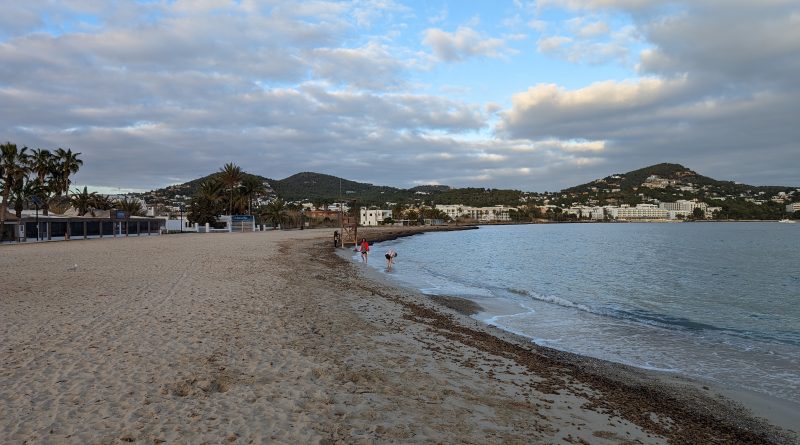
In the Pitiusas, the morning will be presented with cloudy skies and gray atmosphere, although the probability of rain will be low and, if it occurs, it will be weak and sporadic rainfall. As the day progresses, especially in the afternoon, the clouds will begin to open giving way to intermittent clearings and moments of sunshine, which is a more favorable development than expected in large parts of the peninsula where the squall will discharge with intensity. Temperatures will remain particularly mild for this time of year, with lows of 20 degrees and highs of 24, while the wind chill will be about 21 degrees both in full sun and shade. The wind will blow from the south-southwest at about 22 kilometers per hour, a moderate breeze that will be noticeable but without reaching the strong gusts that will affect other Spanish regions.
The Balearic archipelago as a whole will experience an unstable day but without severe phenomena. In Mallorca and Menorca the skies will also be very cloudy, with a tendency to be completely covered, and weak or isolated rains are not ruled out, more likely in the north of Mallorca. The wind may be more intense in Mallorca, where locally very strong gusts are expected in mountain areas, even close to hurricane level in the most exposed peaks. Despite this, temperatures will remain mild in all the islands, with slightly higher values in the minimums compared to previous days.
While the Balearic Islands will maintain a relatively calm scenario, the rest of the country will be affected by a more severe storm. The rains will be especially heavy and persistent in western Andalusia, western Galicia, the Cantabrian Mountains, the Central System, the Pyrenees and around the Alboran Sea. In areas such as Cadiz, Huelva and Seville are expected storms accompanied by electrical apparatus and even occasional hail.
The wind will also be the protagonist in many provinces under yellow warning, including Huesca, León, Palencia, Segovia, Soria, Lleida, Cantabria and Navarra, with gusts that may far exceed the usual for this time of year.
The swell will activate warnings on the coasts of A Coruña, Pontevedra, Huelva and Cadiz, where combined sea of several meters is expected. In high altitudes of the Pyrenees, the Sierra Nevada and the Central System there will be snowfall, while the fog will complicate visibility in mountainous areas and in the Alboran area. Temperatures will drop across the country, especially in the Pyrenees, Castilla-La Mancha and eastern Andalusia.
In the Canary Islands, on the other hand, the situation will be much calmer, with little cloudy skies or cloud intervals and the possibility of occasional showers in the islands of greater relief.