The State Meteorological Agency (Aemet) has activated for this Monday, November 24, yellow level warnings in twenty peninsular provinces and the Canary Islands due to the presence of strong gusts of wind, rain, waves and dust in suspension.
According to data published on its official website, consulted by Europa Press, the adverse weather episode will affect much of the national territory throughout the day, in a context marked by the arrival of a front associated with a squall located over western Europe.
Wind gusts in the east of the peninsula and Balearic Islands
The strong gusts of wind cause the activation of warnings in the provinces of Almería, Jaén, Granada, Teruel, Zaragoza, Burgos, Soria, Albacete, Murcia, La Rioja, Alicante and Valencia, as well as Ibiza and Formentera. Episodes of intense wind are expected in these areas, which could generate complications in high and coastal areas.
Swell in the Mediterranean and the Bay of Biscay
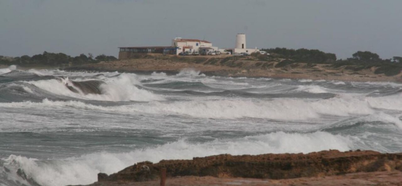
The swell warnings will be in force in Valencia, Granada, Almería, Asturias, Mallorca, Ibiza and Formentera, as well as in Cantabria, Guipúzcoa, Vizcaya and Melilla. In these areas combined sea and strong swell are expected, especially during the central hours of the day.
Heavy rains in the north and northwest
The provinces of Cantabria, Pontevedra and Navarra are at risk of rain. The Aemet forecasts that an active front will leave
As the afternoon progresses, the rains will spread southward, although with less intensity, maintaining some persistence in the Central and northern Iberian Systems. Precipitation could reach the Balearic Islands by the end of the day.
Intense Calima in the Canary Islands
In the Canary Islands, the day will be marked by the presence of haze, especially intense in the easternmost islands and during the morning in the central islands. High concentrations of suspended dust are expected, which could reduce visibility and worsen air quality.
Generalized decrease in maximum temperatures
As for temperatures, the maximum temperatures will experience a decrease in the extreme north and in the mountainous areas of the south of the peninsula. On the contrary, they will rise slightly in the northwest, the Mediterranean coast and the Balearic Islands.
Minimum temperatures will drop in the northwest and in the Pyrenees, but will increase in the rest of the Peninsula, with notable rises in large parts of the southern plateau, the Mediterranean coast and Mallorca. In the Canary Islands, thermal rises are expected, with minimum temperatures that could rise significantly in summits and midlands of Gran Canaria and Tenerife.


