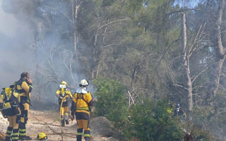
The instability returns to star the day in much of Spain. The State Meteorological Agency (AEMET) maintains this Friday several warnings for snow, wind and waves in 16 provinces and Melilla, while minimum temperatures will fall to 2 ° C in Girona, on a day marked by the passage of several Atlantic fronts.
Warnings for snow, wind and rough seas
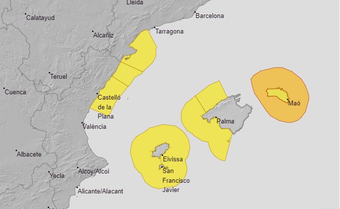
The snow warning is only active in Navarra, while strong wind alerts are in place for Almería, Granada, Baleares (Mallorca), Tarragona, Alicante, Castellón and Valencia.
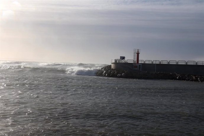
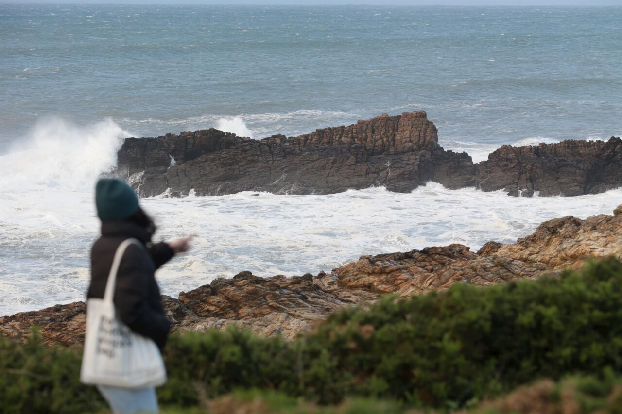
The maritime situation will be especially complicated: there will be yellow warning for swell in Almería, Granada, Asturias, Balearic Islands (Mallorca, Ibiza and Formentera), Cantabria, Girona, Tarragona, Lugo, Pontevedra, Guipúzcoa, Vizcaya and Melilla, and orange warning in A Coruña, where very rough seas are expected.
Precipitation in the north and clearings in the Mediterranean Sea
The fronts will leave cloudy or overcast skies over much of the Peninsula and the Balearic Islands, although with a tendency to open clearings in the Mediterranean and southwest peninsular.
The rains will affect mainly the northern third, where the accumulated rainfall will be more intense in western Galicia and the eastern Cantabrian. In the rest of the country, rainfall will be more scattered and unlikely, except in the Pitiusas and much of the Mediterranean, where no rain is expected.
Snow at medium altitudes
The snow elevation will range between 1,000 and 1,200 meters in the Pyrenees, where significant accumulations are expected, and between 1,300 and 1,600 meters in the mountains of central and southeastern peninsular.
Canary Islands: clouds, light calima and trade winds
In the Canary archipelago, cloudy intervals are expected in the islands of greater relief, without ruling out light drizzle. The AEMET points out a probable light haze and moderate trade wind.
Rising temperatures and strong wind
Temperatures will rise in most of the Peninsula, especially maximum temperatures in the Cantabrian Sea. Frosts will be restricted to the Pyrenees and high inland areas.
The wind will blow strongly in large areas of the country: strong tramontana in Ampurdán, southwest in the Cantabrian and west component in the rest. Very strong gusts are also expected in the Balearic Sea, Sierra de Tramontana, east peninsular, as well as in northern Galicia and western Cantabrian, where they will tend to intensify.