

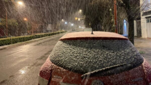
The arrival of a mass of cold air will leave significant snowfall in the mountains of the northern third, with orange warnings in Cantabria, Asturias and Leon. There will also be strong waves in the northeast and Balearic Islands, and very strong gusts of wind in areas of the Cantabrian, lower Ebro and Mediterranean coast, according to the AEMET.
La AEMET prevé acumulaciones de hasta 15 centímetros en la Cordillera Cantábrica y un descenso notable de las temperaturas, con nevadas desde los 1.500 hasta los 800 metros y rachas de viento fuertes en varios puntos del país.
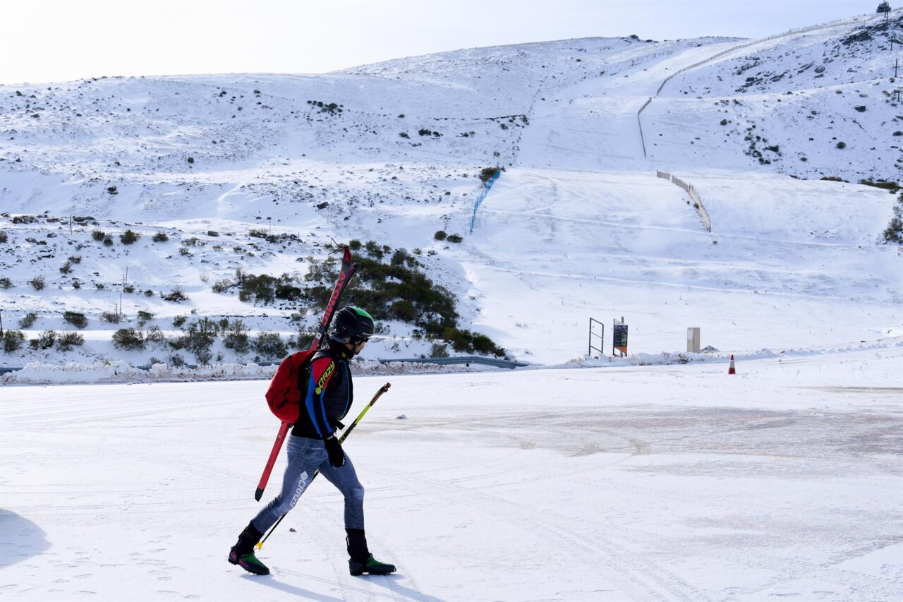
The AEMET forecasts accumulations of up to 15 centimeters in the Cantabrian Mountains and a significant drop in temperatures, with snowfall from 1,500 to 800 meters and strong gusts of wind in several parts of the country.

La irrupción de una masa de aire ártico dejará en Ibiza las temperaturas más bajas del otoño y un notable aumento de la inestabilidad.
The irruption of an arctic air mass will leave Ibiza with the lowest temperatures of the autumn and a notable increase in instability.

La AEMET activa el aviso amarillo por precipitaciones que pueden superar los 20 l/m² y por mala mar en las Pitiusas, en una jornada marcada por la inestabilidad y el viento del norte en Baleares.
The AEMET activates the yellow warning for rainfall that may exceed 20 l / m² and bad sea in the Pitiusas, on a day marked by instability and wind from the north in the Balearic Islands.
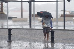
Aemet prevé hasta 20 litros por metro cuadrado en una hora. La península encara un marcado desplome térmico
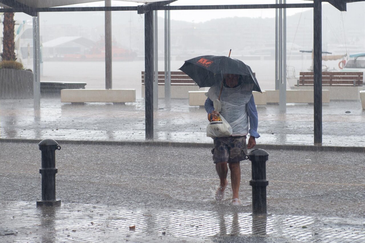
Aemet forecasts up to 20 liters per square meter in an hour. The peninsula faces a marked thermal plunge

Mallorca afronta una semana de inestabilidad marcada por lluvias, viento del norte y una brusca bajada de temperaturas que podría dejar nieve desde los 800 metros
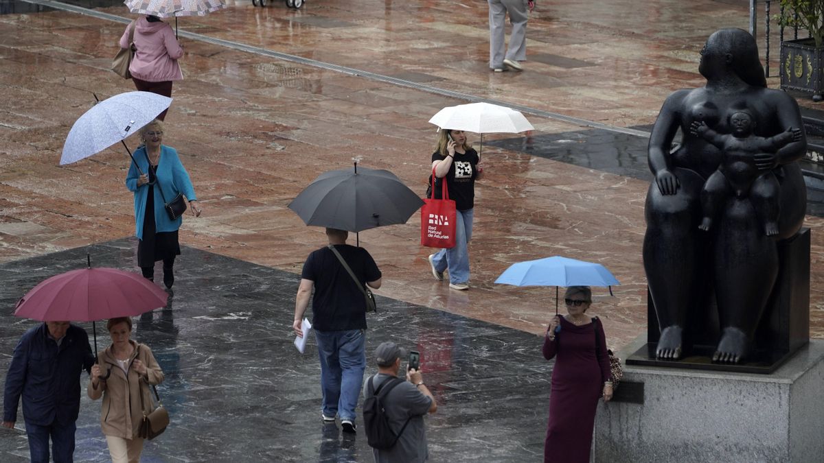
Mallorca faces a week of instability marked by rain, north wind and a sharp drop in temperatures that could leave snow from 800 meters above sea level.
Las previsiones anuncian precipitaciones intensas, viento del norte y un notable desplome de las temperaturas hasta el fin de semana, con varios días en los que la probabilidad de lluvia alcanzará el 100% en la isla.
Forecasts predict heavy rainfall, north wind and a significant drop in temperatures until the weekend, with several days in which the probability of rain will reach 100% on the island.
Queda activado el índice de gravedad 0 del Plan Meteobal por lluvias y tormentas, por lo que el 112 de Baleares ha pedido precaución en las próximas horas
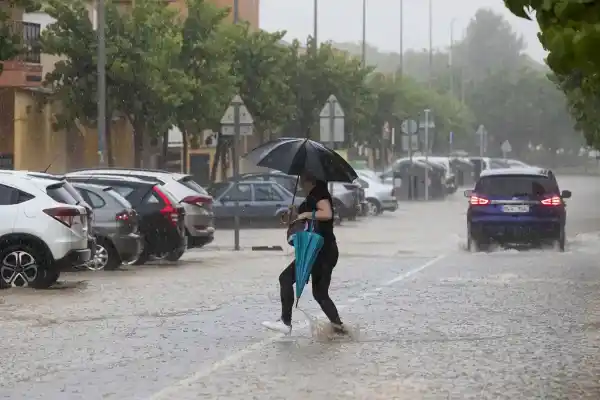
The severity index 0 of the Meteobal Plan for rains and storms is activated, so the 112 Balearic Islands has called for caution in the coming hours.
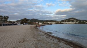
Mientras media España se prepara para lluvias intensas, tormentas, nieve y viento fuerte, Ibiza y Formentera afrontarán un día más tranquilo, con nubes, brisa y temperaturas templadas.
While half of Spain is preparing for heavy rain, storms, snow and strong wind, Ibiza and Formentera will face a calmer day, with clouds, breeze and mild temperatures.
Persistent rains, southerly wind and swell will mark the beginning of the week in the north, while the Canary Islands will experience the impact of the front from Wednesday, with overcast skies and risk of precipitation.
Las lluvias persistentes, el viento del sur y el oleaje marcarán el inicio de la semana en el norte, mientras que Canarias vivirá el impacto del frente a partir del miércoles, con cielos cubiertos y riesgo de precipitaciones.
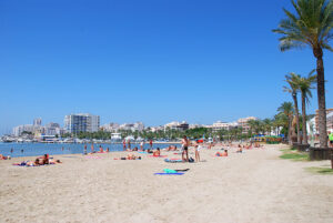
La llegada de una masa de aire cálido marcará los próximos días en el archipiélago, con máximas que podrían alcanzar los 26 grados
The arrival of a warm air mass will mark the next few days in the archipelago, with maximum temperatures that could reach 26 degrees Celsius.
El archipiélago vivirá este lunes una jornada con intervalos de nubes medias y altas, sin lluvias previstas, mientras un frente atlántico dejará precipitaciones en el noroeste peninsular. Las temperaturas se mantendrán estables y soplarán vientos del oeste y suroeste.
The archipelago will live this Monday a day with intervals of medium and high clouds, without expected rain, while an Atlantic front will leave precipitation in the northwest peninsular. Temperatures will remain stable and winds will blow from the west and southwest.
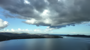
La Aemet prevé cielos despejados y ambiente más templado en las islas tras las lluvias leves del sábado.
The Aemet forecasts clear skies and a milder atmosphere in the islands after the light rains on Saturday.