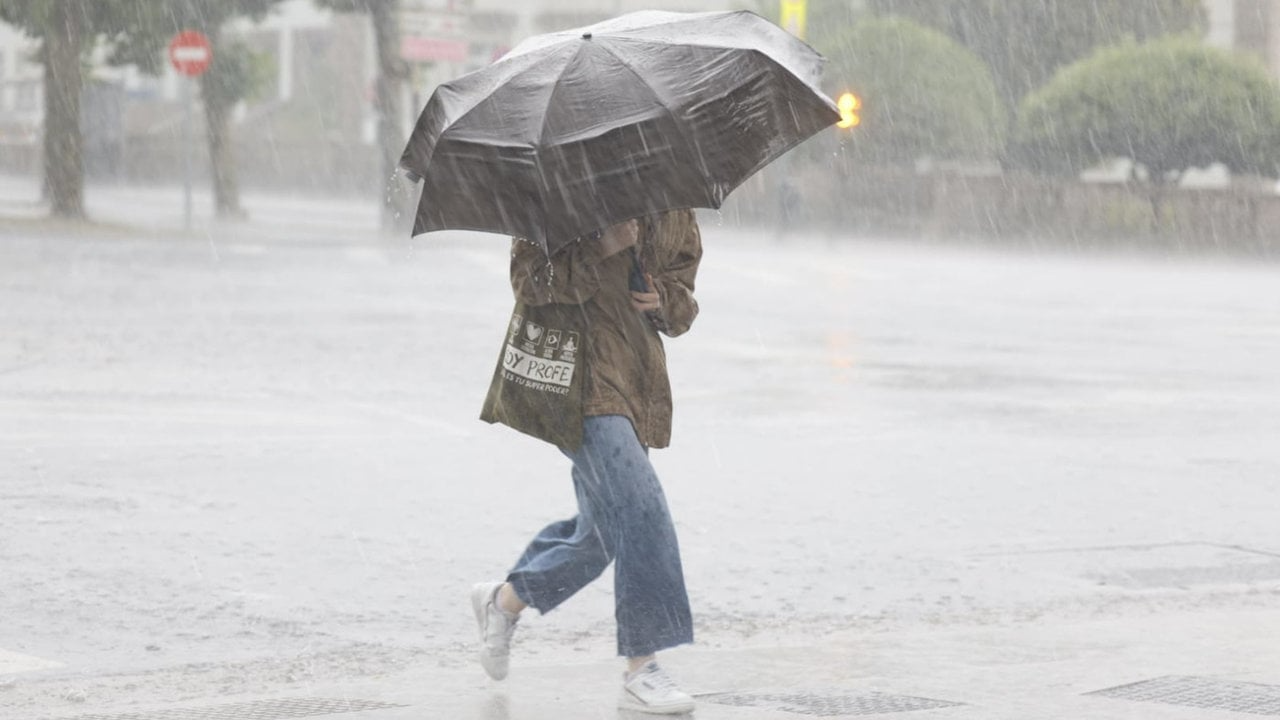
Ibiza is getting ready to receive this afternoon the squall Herminiawhich has 16 autonomous communities in check and threatens with strong winds, heavy rains and waves of up to four meters. According to the State Meteorological Agency (Aemet), this squall could evolve into an Isolated High Level Depression (DANA) next Wednesday, intensifying the adverse phenomena.
The yellow warning issued for Ibiza and Formentera foresees wind gusts of up to 70 km / h between 10:00 and 20:00 hours this Monday. In the maritime environment, southwest winds are expected with force 7, accompanied by waves of 3 to 4 meters. Meanwhile, the snow level in Mallorca will drop to 1,200 meters, leaving significant accumulations in high areas. The Balearic Government has also issued a fire alert map in which Ibiza and Formentera remain at level 3 (orange), which prohibits any activity that involves the use of fire or may generate sparks. Authorities insist on extreme caution due to the combination of strong winds and low humidity, which significantly increase the risk of forest fires.
Tips and precautions
With ‘Herminia’ expected to persist until Saturday, the Aemet and the Govern recommend avoiding coastal areas, checking weather updates and securing loose objects on terraces or balconies. Although sea routes between Ibiza and Formentera remain operational, cancellations are not ruled out if conditions worsen. This storm, which has put all of Spain on alert except Navarra and the Canary Islands, stands out for its extreme effects in Galicia, where the coast faces waves of more than 10 meters under a red alert level. Ibiza and the rest of the Balearic Islands will remain under constant monitoring, while authorities work to mitigate possible impacts and ensure the safety of residents and tourists.
Continue reading
-
The storm ‘Herminia’ wreaks havoc in Galicia and leaves wind gusts of up to 162 km / h
-
The storm Herminia increases the alert level for forest fires in Ibiza