The instability will mark this Friday the weather situation in much of the country. Up to 24 provinces maintain active warnings for snow, rain, wind, waves or storms, in a day dominated by the passage of an arctic air mass and heavy rainfall in several areas, according to the State Meteorological Agency (AEMET).
Snowfalls in the North with orange warnings in several provinces
Snow will be the protagonist in large areas of the north and mountain areas. The provinces of Huesca, Teruel, Zaragoza, León, Palencia, Soria, Lleida, Vizcaya, Asturias and La Rioja remain in yellow warning for snowfall, while the AEMET raises the level to orange, the second most dangerous, in Burgos, Guipúzcoa, Álava, Cantabria -especially in Liébana, the Ebro and Villaverde valley- and Navarra, both in the Pyrenees and on the Cantabrian slope.
The snow level will be around 800 meters in the western half and between 500 and 700 meters in the rest, which will allow the snow to reach large areas of the northern third and also mountains in the center of the peninsula. AEMET does not rule out even occasional snowfalls in Mallorca.
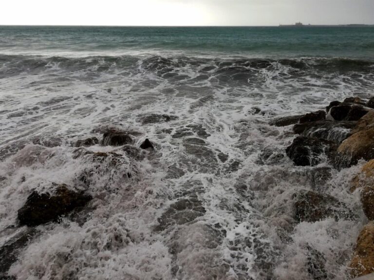
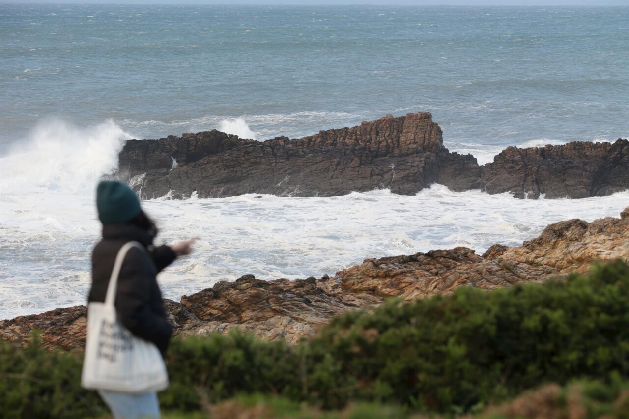
Swell and wind in the Mediterranean and Balearic Islands
The maritime storm will activate yellow warnings in Barcelona, Alicante, Castellón, Valencia and the Balearic Islands -Mallorca, Ibiza and Formentera-, while the warning rises to orange in Murcia, Menorca, Girona and Tarragona.

The wind will also be the protagonist. There will be yellow warnings for strong gusts in
Heavy rains in the Balearic Islands and La Palma
The rain will activate yellow warnings in La Palma, as well as in Mallorca and Menorca, where locally heavy and persistent rainfall is expected, which may be accompanied by thunderstorms and hail often, especially during the first half of the day.
In La Palma, rainfall will be persistent in the northeast of the island, especially in the midlands, where significant accumulations are not ruled out.
Arctic air keeps the cold intense
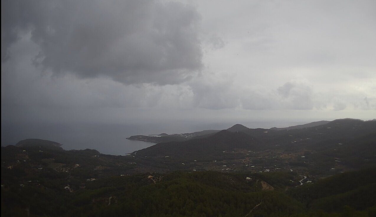
The arctic air mass over the Peninsula will leave overcast skies in the north and Balearic Islands, as well as fog banks in mountainous areas. Temperatures will continue to fall, with widespread frost in the interior of the peninsula, more intense in the mountains of the north and east, and locally strong in the Pyrenees.
In contrast, the Canary Islands will record few thermal changes, with slight increases in the minimum temperatures in the eastern islands.
Strong winds in most of the country
The north wind will blow strongly in many areas. In the Balearic Islands, the lower Ebro and the Mediterranean coasts very strong gusts are expected, while in the rest of the country a moderate wind will prevail. In the Canary Islands, the trade wind will blow moderately, intensifying in the afternoon in exposed areas.